
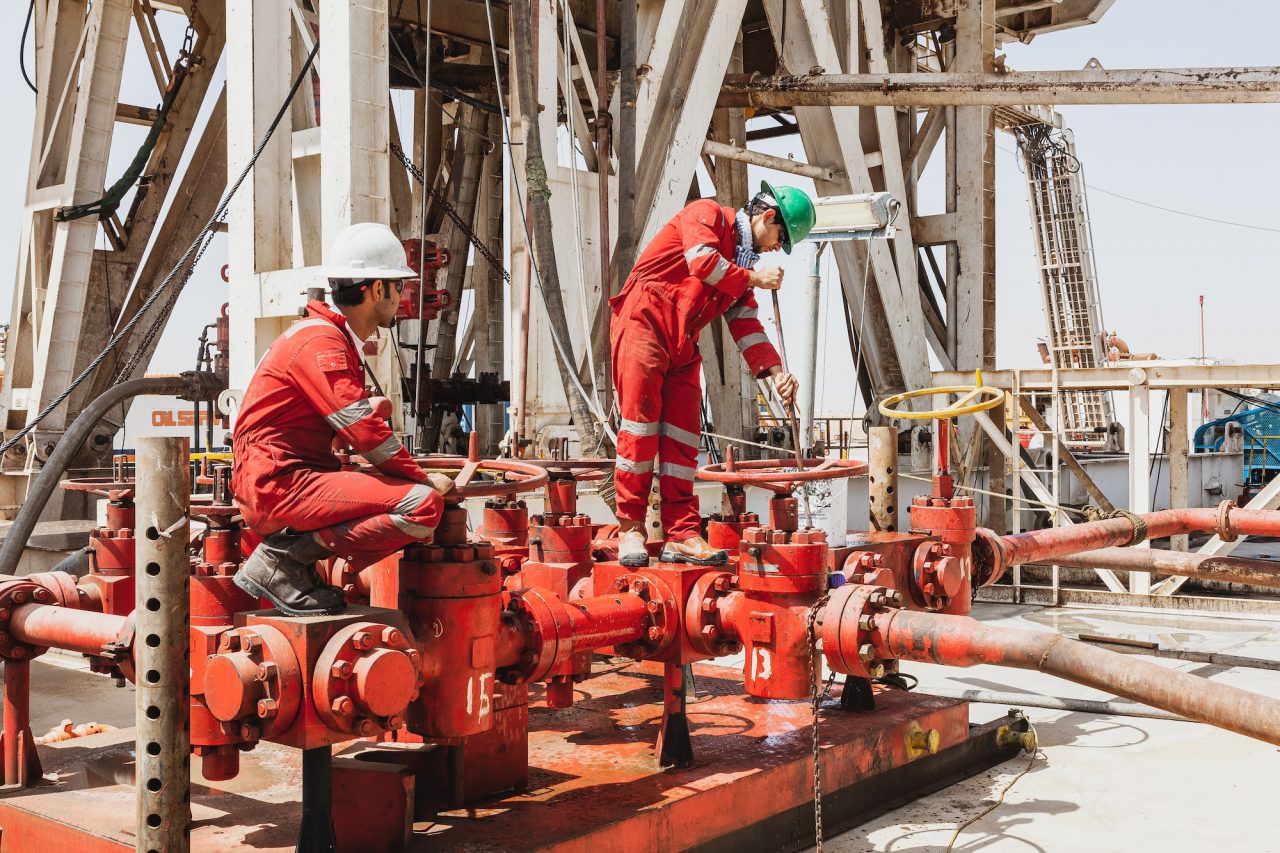
Environmental compliance requires absolute precision and legally defensible data. We recently completed a comprehensive baseline groundwater monitoring program at the Umusadege Facility (PML 22). Our primary goal was to characterize subsurface conditions, establish a reliable baseline dataset, and delineate the extent of any contamination beneath the site.
Strict Regulatory Alignment
You cannot afford to guess when it comes to environmental baselines. We executed this critical program in strict compliance with NUPRC EGASPIN (2018) and the FMEnv National Environmental (Soil and Groundwater Quality) Regulations (2022). Our operations were fully supported by our ISO 9001, 14001, and 45001 management systems, ensuring your data withstands maximum regulatory scrutiny.
Our Four-Phase Technical Approach
To deliver scientifically accurate results, we structured the groundwater characterization program across four comprehensive technical phases.
| Project Phase | Execution Details |
| Reconnaissance & Geophysics |
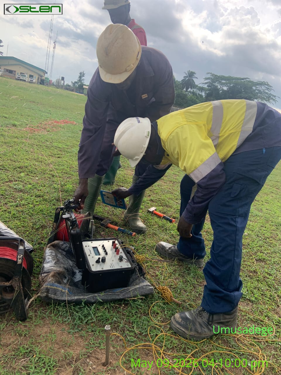
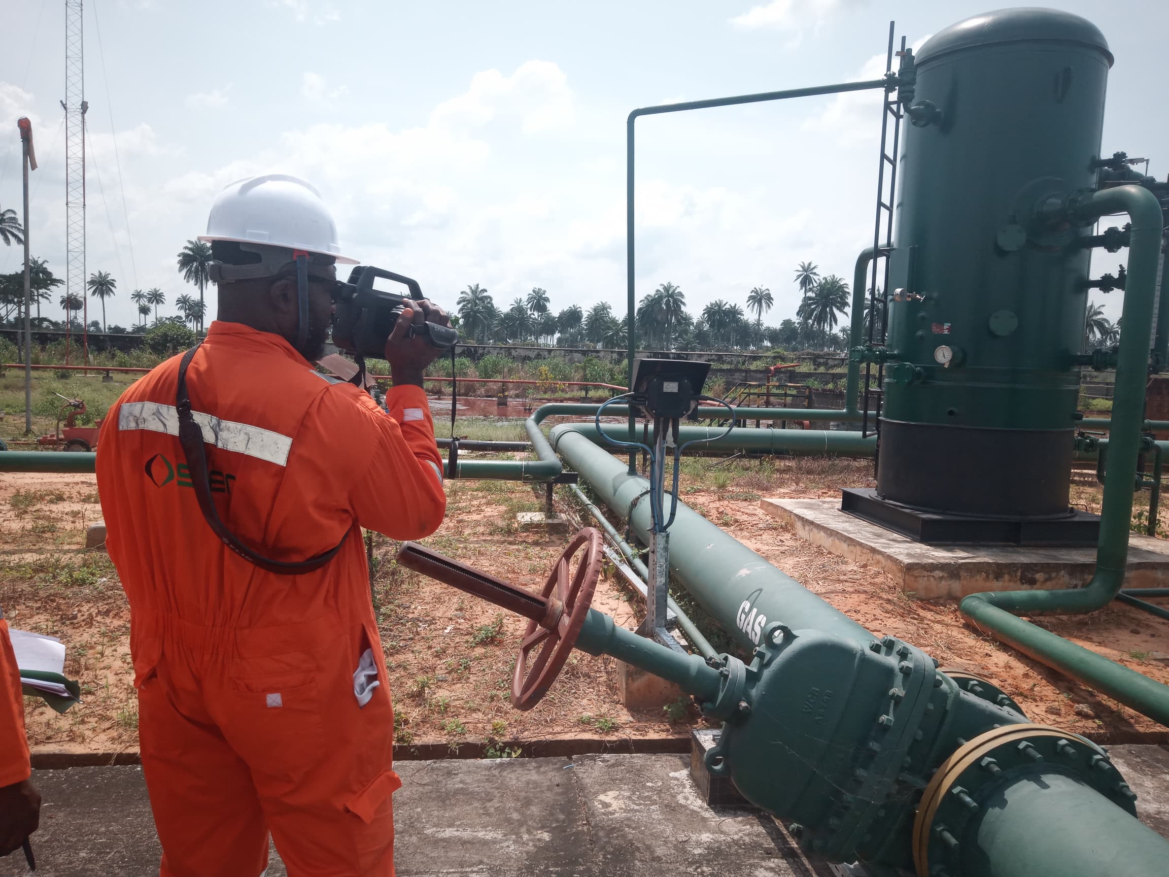
We initiated the project with a desktop review of hydrogeological records and a field walkover. We utilized Vertical Electrical Sounding (VES) and resistivity profiling to resolve layer thicknesses and aquifer depths. |
| Drilling & Well Installation |
We manually drilled nine monitoring boreholes to depths of 80 to 100 ft without chemical drilling fluids. We added four existing community boreholes to create a robust 13-point monitoring network. |
| Sampling & Analysis |
We collected 52 groundwater samples using low-flow submersible pumps. Samples were analyzed under our strict ISO/IEC 17025 accreditation using standard EPA and APHA methods. |
| Hydraulic Analysis & Modelling |
We built a calibrated MODFLOW flow model and simulated solute transport using MT3D to identify migration corridors and temporal trends. |
Rigorous Sampling and Quality Control
Data integrity starts in the field. We ensured strict quality control during the sampling and analysis phase to guarantee that our findings provide a true representation of the subsurface environment.
-
We collected samples only after purging a minimum of three casing volumes to ensure representative groundwater.
-
We confirmed stabilization when parameters like pH, EC, DO, and temperature held within 10 percent across three consecutive readings.
-
Our comprehensive analytical suite covered physicochemical parameters, TPH, BTEX, PAHs, and heavy metals, including Pb, Cd, Cr, Ni, Cu, Zn, Fe, Mn, and As.
-
We properly preserved samples in the field, keeping them chilled at or below 4 degrees Celsius, and transported them under a strict chain-of-custody.
Actionable Environmental Intelligence
Generating raw numbers is not enough; you need data that tells a clear story about your facility’s environmental health. We generated spatial outputs using IDW and Kriging interpolation, alongside GWSDAT for temporal trend and plume-stability analysis.
The program ultimately delivered a high-resolution dataset and a comprehensive Baseline Groundwater Delineation Report. This cross-validated framework provides the exact intelligence needed for risk evaluation and long-term monitoring optimization around the Umusadege Facility.
Secure Your Site’s Compliance Today
Protect your operational license with high-integrity data that satisfies NUPRC and NOSDRA standards. Reach out to us to schedule your baseline environmental assessments and safeguard your assets. Visit our contact page directly to get started.